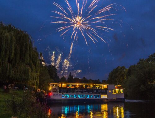
Shrewsbury Maps – Views from the River Severn
Original Shrewsbury. Map of Shrewsbury [Digital Image]. Retrieved from Original Shrewsbury – Map of Shrewsbury
Originating near the town of Llanidloes, mid-Wales the River Severn dramatically loops through Shrewsbury before passing through Worcester and Gloucester, eventually discharging into the Bristol Channel. Sabrina, as she’s known, is the longest river in the UK with a total length of 354km (220 miles). Some contest her length but even so she definitely has the greatest water flow in the UK at 107 m3/s (3,800 cu ft/s).
While today many people enjoy the River Severn for recreational activities, back in the age of the Celts, Sabrina was something magical, a goddess even. It’s not difficult to understand why, just take a look at the Shrewsbury map. To early settlers the River Severn was the protector, offering 300 degrees of fortification, an ideal place to build a castle.
Sabrina, the River Severn
Originating near the town of Llanidloes, mid-Wales the River Severn dramatically loops through Shrewsbury before passing through Worcester and Gloucester, eventually discharging into the Bristol Channel. Sabrina, as she’s known, is the longest river in the UK with a total length of 354km (220 miles). Some contest her length but even so she definitely has the greatest water flow in the UK at 107 m3/s (3,800 cu ft/s).
While today many people enjoy the River Severn for recreational activities, back in the age of the Celts, Sabrina was something magical, a goddess even. It’s not difficult to understand why, just take a look at the Shrewsbury map. To early settlers the River Severn was the protector, offering 300 degrees of fortification, an ideal place to build a castle.
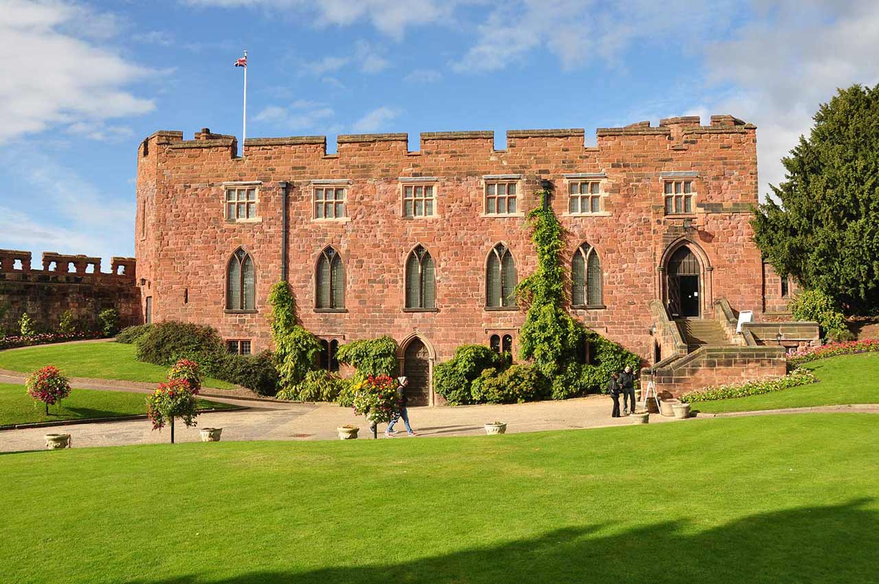
Shrewsbury Castle
Original Shrewsbury. Shrewsbury Castle [Digital Image]. Retrieved from https://originalshrewsbury.co.uk/visit/shrewsbury-castle-shropshire-regimental-museum
Welsh Bridge
This steep embankment leads you down to the River Severn. At the bottom is the only surviving town gate, which dates back to the 1200s. For centuries it would have been one of the most important areas along Shrewsbury’s River Severn, especially as the town became a successful merchant hub for England.
Before you set off upstream (turning right) notice the grandeur of the railway bridge. The stone bridge you can see was built in 1849 and later encased in metal extensions to accommodate the increase in railway demand.
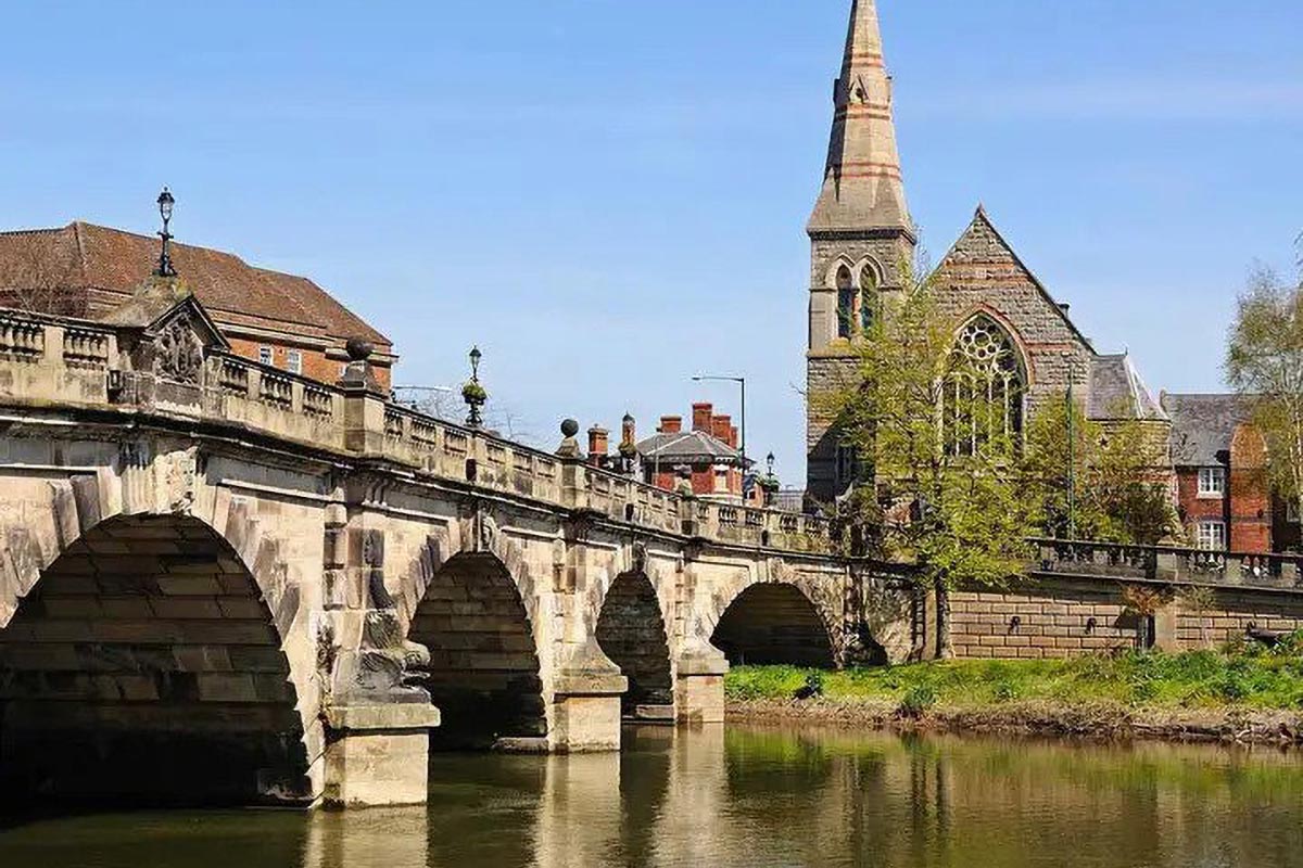
English Bridge
St. Chads
“St Chads Church” by jimborobbo is licensed under CC BY 2.0
On the Shrewsbury map, you’ll see St. Chads overlooking the Quarry. St. Chads is unique because it’s round and it seats around 1200 people, making it the largest seated venue in Shrewsbury. But look closely and you’ll see the relics of the original church. Built just after the death of St. Chad, Bishop of Mercia in the 8th century, the old St. Chads building came to an abrupt end at 4am on July 9th 1788. This wasn’t unexpected; Thomas Telford had already recommended demolishing then to rebuild, by then it was too late.
George Steuart, a prominent English architect completed the current St. Chads in August 1792. Steuart had recently built Lord Berwick’s house in Attingham and was the ideal candidate for the job. However, the church rejected his idea of a circular building until the public began to question why the original building had collapsed; asking ‘was it gods favour?’ Lucky for us that history worked out the way it did and St. Chads opened its doors on 19th August 1792.
The Quarry
The Quarry dominates Shrewsbury’s landscape, covering an area of 29 acres, encircled by the River Severn. At the heart of The Quarry lies the dingle, once a wet quarry site from which stone and clay were extracted to build many important features in Shrewsbury town. These days it’s a revered floral garden with water feature, designed by Percy Thrower.
The Quarry is home to many events in Shrewsbury such as the two-day Shrewsbury Flower Show, the longest-running flower show in the world. Music events also feature in The Quarry such as the Fake Festival and Let’s Rock Shrewsbury amongst others. In May, the River Severn hosts the Shrewsbury Regatta and in June, it’s the Dragon Boat Race. All of which turn the banks of the longest river in the UK into a huge party area, drawing crowds from around the world.
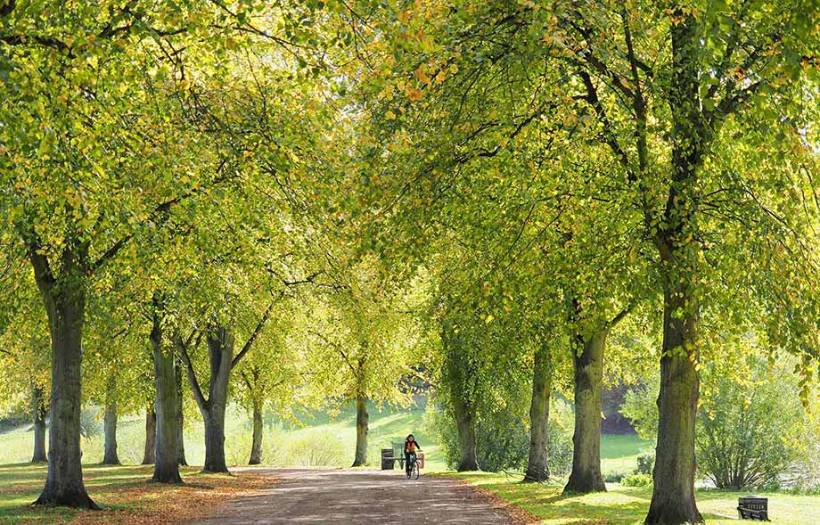
The use of The Quarry as a recreational area is not a new one. Since the 16th century, it’s been a place to relax and enjoy simple things in life. Before then it was common ground, used by the common folk as arable land to graze their cattle, dry textiles and to acquire stone. In the 18th century living by The Quarry became a fashionable thing to do, and so the upper classes began to sculpt the park into what we see now. The cooperation even planted over 500 lime trees down the riverbank and along the town walls.
Even though public walks were celebrated, and the many saw The Quarry as an ideal leisure facility issues arose. Common folk still used the land for traditional uses, which led the Corporation to buy up The Quarry in 1875. The area was landscaped, benches were added along the paths, and the Dingle was converted into something akin to what we see now.
Percy Throwers House
On your voyage of along the Shrewsbury map of the River Severn, you’ll also see Percy Thrower’s house.
Percy wasn’t native to Shrewsbury, but neither the less he is a prominent person in our town’s history. A gardener, horticulturist, broadcaster and writer, Percy Thrower was a national celebrity. He gained fame through the BBC TV show ‘Gardening Club’ which started in 1956, and later ‘Gardeners World’ (1969-76). He even used his home garden at ‘The Magnolias’ in Shrewsbury as the site where they filmed Gardeners World.
Why was Percy Thrower famous?
Before a TV celebrity, Percy Thrower was actively involved in the Dig for Victory campaign; this led to him becoming a person of national fame. His appointment on the BBC came just a few years after the coronation of Elizabeth II of the United Kingdom. The coronation is widely regarded as the catalyst for a vast increase in TV sales so it’s no wonder that he gained the moniker of the Godfather of Gardening.
While living in Shrewsbury, Percy Thrower took on the role of parks superintendent at the age of 32 years old he was managing a team of 35. The Dingle is regarded as one of his greatest achievements.
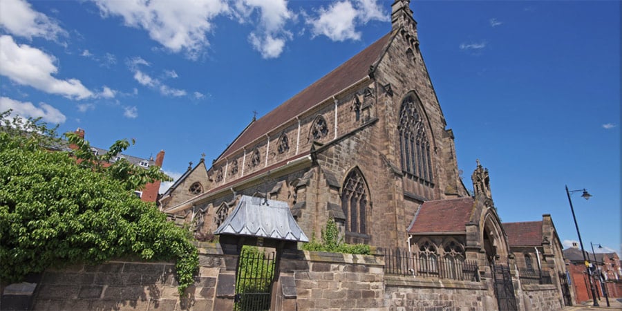
Shrewsbury Cathedral
Shrewsbury Cathedral. Shrewsbury Cathedral [Digital Image]. Retrieved from www.shrewsburycathedral.org
Shrewsbury Cathedral has an interesting history, and you might be wondering why the building is not such a dominant feature on the Shrewsbury map. Commissioned in 1852 but once building work had begun the design was reworked due to the discovery of sand close to the foundations. This meant the spire was abandoned and the design scaled down. Shrewsbury Cathedral was completed in 1856. You’ll see it next to the town wall within the meander of the Severn.
Pengwern Boat Club
“An early Autumn Day on the River Severn” by jimborobbo is licensed under CC BY 2.0
The name Pengwern comes from an old name for the county of Shropshire, which was originally a Brythonic settlement of sub-Roman Britain. It is most likely the early seat of the kings of Powys before they were pushed West. So why it’s not called the Shrewsbury Boat Club? That’s a good question.
Before Pengwern Boat Club was established, an elitist boat club existed, and you guessed right, it was the Shrewsbury Boat Club. As money began to transcend down to the middle and lower classes Pengwern Boat Club was born. So powerful was the lust to join this new club that by the turn of the 20th century the old club was supplanted. You’ll see the Pengwern Boat Club on the Shrewsbury map where it shares the same stretch of water with the Royal Shrewsbury School Boat Club.
Content by StoryThreads

